Precision at Scale. Intelligence in Every Decision.
Geospatial tools that give utility teams the visibility to act with confidence
See More. Know More. Do More.
Data-driven vegetation management starts with a better map
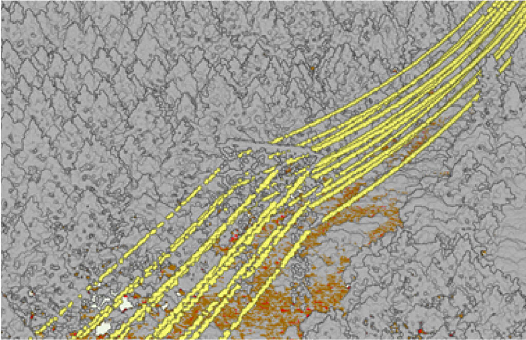
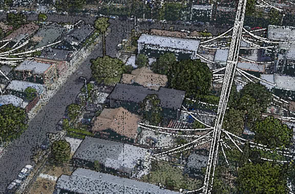
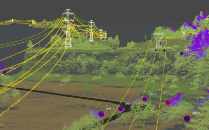
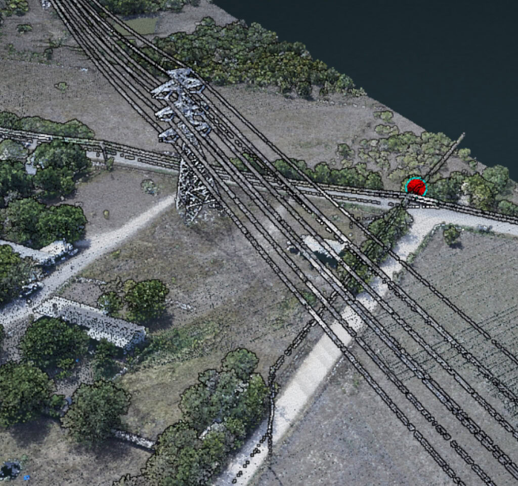
Rancho’s geospatial and software solutions provide clear, actionable intelligence to help utility partners plan better, respond efficiently, and maintain compliance. We transform complex data systems into dynamic, layered maps through remote sensing and spatial modeling, enabling early risk detection, optimized routing, and proactive management of emerging challenges.
From storm recovery support to annual maintenance planning, our GIS-enabled workflows reduce guesswork and improve safety across every step of the vegetation lifecycle.
What We Handle
Smart systems for modern utility vegetation management
Advanced Data Capture & Insights
Detailed spatial data collection and analysis that enhances situational awareness and supports effective planning.
Coming 2026
Aerial Imaging & Mapping Solutions
Timely and comprehensive visual overviews to monitor and assess challenging or remote conditions. Coming 2026
Tailored GIS Tools & Visualizations
Custom layers and dashboards designed to highlight critical assets, identify potential risks, and track operational progress
Risk Forecasting & Planning Support
Analytical tools that anticipate emerging issues and inform strategic decision-making
Audit-Ready Documentation
Organized digital records built to meet regulatory requirements and support internal compliance standards
A Proven Partner in High-Risk Environments
Trusted by utilities for our high caliber of precision, reliability, and follow-through
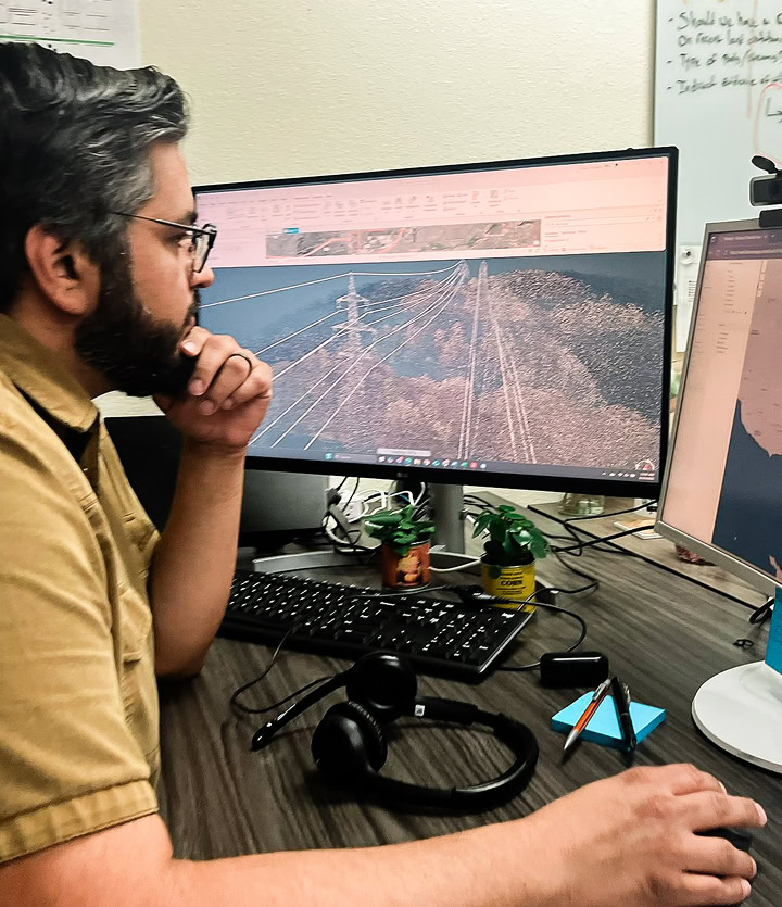
Rancho’s geospatial solutions are purpose-built to support the pace, precision, and compliance demands of utility vegetation management. Our in-house analysts, GIS technicians, and field teams collaborate to turn complex data into actionable insights that improve planning and reduce risk.
Whether you’re preparing for wildfire season, responding to storm damage, or optimizing annual work plans, we equip your teams with the visibility and confidence to execute safely and effectively.
What Our Partners Say
Let’s Build a Safer System Together
If you’re navigating a complex service area, responding to growing vegetation risk, or planning system upgrades, Rancho’s geospatial and software solutions are built to support you. Let’s talk about your network, goals, and the tools that can help you stay ahead.